

 Our Shared Values
 Our Business
 Our Foundations
 Our Achievements
 Our Governance
 Conservation Management & Monitoring
 Climate Change
 Community Engagement
 Partnerships & Memberships
 Human Rights & Labour
 Responsible Sourcing
 Responsible Production
 Certifications
 Sustainability Report
 Palm-based Food Products
 Other Food Products
 Oleochemicals
 Bioenergy
 Food & Nutrition Innovation
 Press Releases
 Stories
 Meet Our Experts
 In the News
 Publication
 Shareholder Information
 Disclosure of Information
 Financial Information
 Prospective Suppliers
 Support for Palm Suppliers
 FAQ
FAQ Existing Non-Palm Suppliers
 Graduates & Professionals
 Scholarships
 Internships
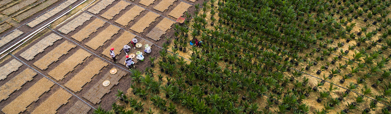
What does it take to protect thousands of hectares of forest from deforestation?

For Oko Supajar, our forest monitoring officer in Ketapang, Indonesia, it’s a combination of advanced satellite technology and hands-on, boots-on-the-ground action. Every day, Oko faces the challenge of safeguarding vast stretches of forest – ensuring that our supply chain remains deforestation-free as aligned with industry-recognised No Deforestation, No Peat, and No Exploitation (NDPE) principles.
His daily routine reveals the critical role technology, teamwork, and rapid response play in playing one step ahead of deforestation threats.
Starting the day: Setting priorities and planning the watch
Oko’s day begins early with checking deforestation or fire hotspot alerts triggered by the GeoSmart Fire and GeoSmart Trust systems.
Once he identifies potential threats, Oko coordinates with a network of colleagues. “The ground teams immediately conduct field inspections and report back on what they find,” Oko explains.
With hundreds of hectares to protect, prioritising areas within the company’s concession is essential. “It’s our responsibility to monitor and protect these areas as outlined in our environmental permits,” he adds.

Eyes in the sky: Monitoring from above
“Satellite data is our first line of defence. Through tools like GeoSmart Fire, we can spot potential fire or deforestation risks in real-time, even in the most remote areas. This ability to monitor from above gives us the advantage of responding fast,” Oko says.
Oko acknowledges that not every alert means there’s an actual threat. Sometimes it’s just a false alarm, like reflections from water or metal roofs. That’s why he and his team never rely on satellite data alone. Field verification is essential to confirm there is a real risk or not.
Decoding the data, verifying alerts
Once an alert is triggered, it’s time to cross-check the location data with the satellite imagery. If the area looks suspicious, the field team is deployed to verify conditions on the ground.
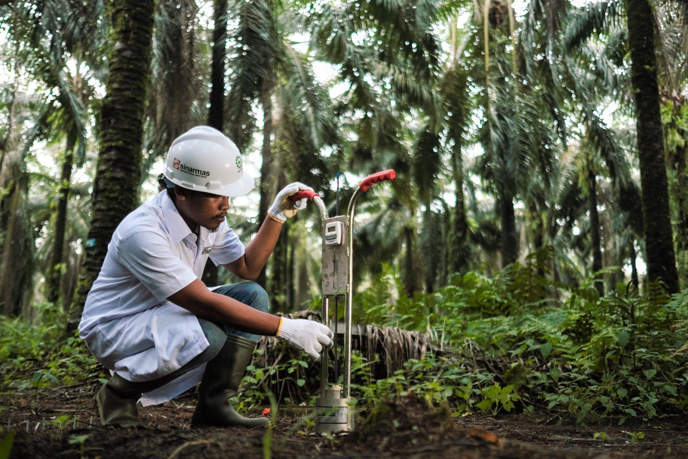
“Many times, alerts are false, but when they’re real, we must act quickly,” Oko notes. During verification, the team collects GPS coordinates, photographs, and evidence of human activity. They document everything, and this information feeds directly into our deforestation verification process.

Taking action: Coordinating the ground response
If deforestation is confirmed, Oko’s team works fast. “We immediately coordinate with plantation owners or communities in the area,” he explains. “When it’s on community land, we engage landowners and explain the dangers of unauthorised land clearing and burning,” Oko shares. His team also works closely with local authorities to ensure all actions are within legal guidelines.

In more serious cases, such as uncontrolled fires, the response is immediate. “If we find a fire, we act quickly to extinguish it, then follow with education to prevent it from happening again,” Oko says. It’s a race against time, but his team is well-trained to handle these emergencies.
Depending on the findings, either corrective measures are taken, or the alert is dismissed if there’s no significant threat. In more extreme cases, the plantation risks being removed from the supply chain if it fails to comply with sustainability standards.
Staying one step ahead
As the day winds down, Oko compiles a detailed monitoring report. The team also keeps an eye on community activities like land preparation, as these areas often become hotspots for future fires.
Challenges like outdated regulations, which permit land clearing through traditional burning methods, only add the complexity of Oko’s work. However, he sees this as an opportunity to engage the community. “We conduct awareness campaigns, joint patrols, and offer training on fire prevention,” he says.

For Oko, the work is never done. Each day presents new challenges, but he knows that with the right tools, teamwork, and a deep sense of responsibility, he can protect these precious forests for future generations.
—–
Explore how our Desa Makmur Peduli Api (DMPA) programme supports our deforestation-free supply chain by preventing fires and providing firefighting infrastructure in fire-prone communities.
—–